2024 Presidential Hackathon | Outstanding Team
“Drone for Life” was recognized as an Outstanding Team in the 2024 Presidential Hackathon, advancing the real-world deployment of UAV medical logistics services.
Connecting rural communities, disaster sites, and offshore islands with UAV-based medical logistics, including emergency medicine delivery, rescue support, and cross-sea transport.
“Drone for Life” was recognized as an Outstanding Team in the 2024 Presidential Hackathon, advancing the real-world deployment of UAV medical logistics services.
The hospital collaborated with the Hsinchu fire department to support rural medical response and emergency rescue logistics.
View CaseWhen roads and conventional transport were disrupted, UAVs were deployed for emergency medicine delivery to support medical needs in the disaster area.
Watch VideoThe program extends from disaster-response delivery to routine logistics and includes rainy-weather wall takeoff/landing and strong-wind tests for rural medical transport applications.
View ReportA cross-sea medical logistics demonstration validated the feasibility of UAV delivery for medicines and medical supplies in offshore-island scenarios.
View ReportIntegrating UAVs, automated docks, real-time imagery, AI analytics, and the digital twin platform for smart traffic, engineering, firefighting, petrochemical plants, solar farms, harbors, and indoor warehouse inspection scenarios.
Instant traffic flows including cars speed, directions and amounts are calculated by AI using drones and CCTVs. These visualiable, coordinatable, digitizible results demonstrated on the 4D platform provide useful data for traffic strategy, daily inspection, traffic events recording.
Photos took by drones can generate 2D orthomap and 3D models on the 4D platform. In addition, distance, height and volume in 3D space can be measured from the results. 4D platform with cloud storage, only required internet connected equipment, provides an unrestricted and efficient way to manage constructing schedules.
Pre-designed 3D environments acquired by drones and processed by the 4D platform can quickly provide field data for further designs. In addition, landscape design can be embedded with 3D environments to preview results. Not only raising design efficiency for designers, but also providing pseudo-real visualization for clients.
An automated dock enables scheduled site inspections, combining automated takeoff, landing, charging, dual-sensor imagery, AI defect detection, and digital twin platform management.
Thermal imagery and aerial data are used to inspect solar modules, identify abnormal hot spots and visible anomalies, and manage inspection results on the platform.
A 3D harbor map, UAV imagery, flight tracks, and mission timelines are integrated on one platform for inspection, monitoring, and result playback.
Optical indoor positioning, an automated takeoff/landing platform, and AI carton recognition enable automated inventory missions and data return in GNSS-denied warehouse environments.
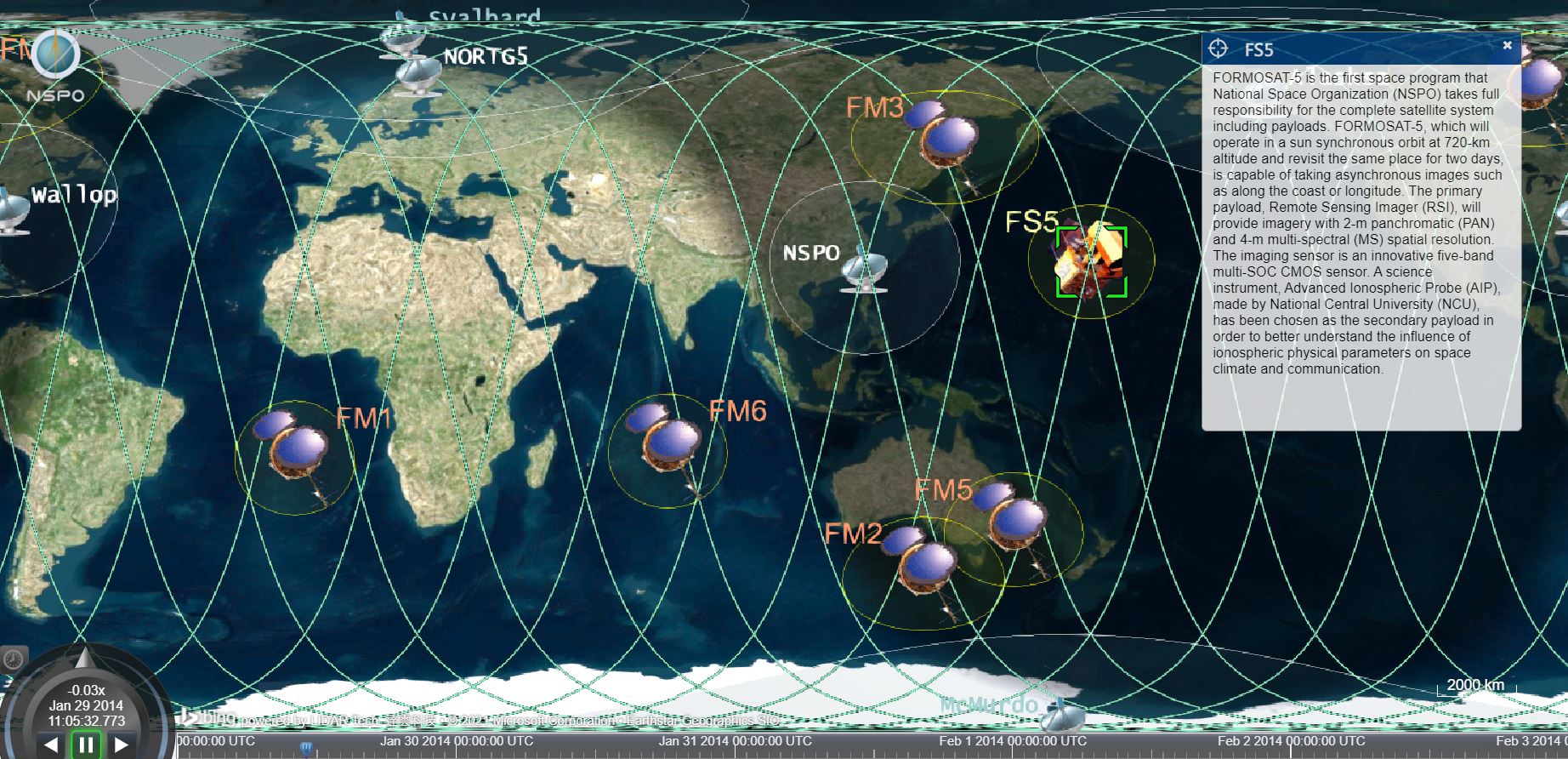
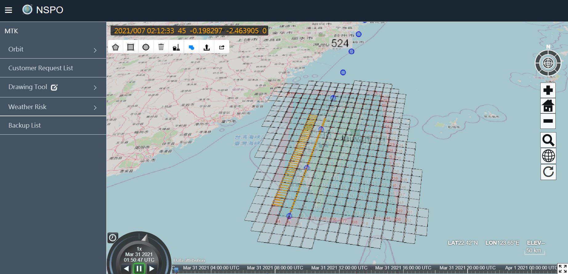
Integrating image acquisition scheduling with a 4D platform to support mission-result presentation, data management, and spatiotemporal visualization.
earthbook enterprise version for TASA, providing various modules including shooting arranging, scheduling, measurement tools and weather data, improves shooting efficiency and results in collecting no-cloud images of the whole Taiwan in three months.