UAV Information
Live video, coordinates and more

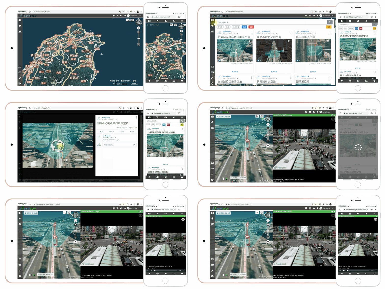


earthbook API integrates real-time, dynamic and base data for mission planning, flight monitoring and UTM applications, enabling system-to-system data exchange and service integration.
Live video, coordinates and more
Remote ID, ADS-B
Weather, restricted and no-fly zones
Terrain, buildings, high-voltage power lines
AIS, 4G / 5G signal strength and more
Provides real-time weather information at different altitudes to support mission planning and pre-flight condition assessment.
Displays restricted and no-fly zone information on the map to support route planning and flight risk assessment.
Integrates UAV and No-Fly Zone information to support mission planning, flight monitoring, and information integration.
| near_me What are features of this platform? | near_me What functions are provided in earthbook? |
| near_me Does this platform need GIS background? | near_me How do I contact? |
| near_me Is it free for registration? | near_me Where I can register? |